Example: Acre, Brazil
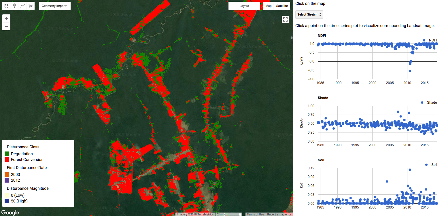
Example CODED output in Acre, Brazil.
In the Javascript repository there is an example the data that can be generated with CODED. The data can be visualized in the script ‘coded/examples/Acre, Brazil/Visualize’. Notice the large rectangular areas labeled as deforestation/conversion. These regions are likely pastureland or agriculture. Fire is used to clear the land, but the fire often extends beyond the extent of the planned clearing and into the surrounding forest. This forest is never converted, but does become degraded. Examples of this can be seen in the CODED results, with degradation being labeled as green and deforestation in red.
The training data and code required to run CODED and produce the outputs seen above can be found in ‘coded/examples/Acre, Brazil/Submit CODED’.